Geography of Albania
Albania is a small country with a landmass of 28,748 square km.
It is situated in the western part of the Balkan Peninsula in southeastern Europe. It shares borders with Montenegro and Kosovo to the north and northeast, Macedonia to the east and Greece to the south. To the west, Albania coast abuts the Adriatic and Ionian seas.
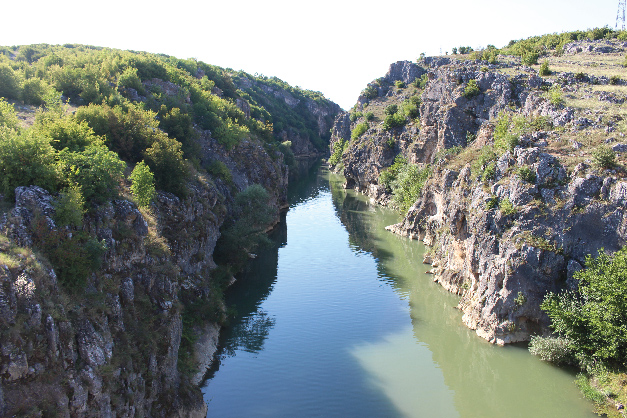
The Adriatic separates Albania from Italy via the Strait of Otranto (72 km). Much of Albania’s surface is mountainous – the average height above sea level is 708 m, and its highest peak, Mount Korab on the Macedonian border, is 2,753 m. Most of the population lives in the south – central lowlands and along the coastal plain.
Albania lies in the subtropical belt and has a Mediterranean climate, with relatively short and mild winter and hot and dry summers. The climate of Albania varies a lot from one region to another with big contrasts in terms of temperature, rainfall, sunshine, air humidity, etc. The annual rainfall is on average 1,430mm per year, decreasing from west to east.
Climate:
Mild temperate; cool, cloudy, wet winters; hot, clear, dry summers; interior is cooler and wetter
Location:
Southeastern Europe
Geographic Coordinates:
41°00′N 20°00′E
Area: Ranked 145th
Total 28,748 km2 (11,100 sq mi)
Water 1,350 km2 (520 sq mi)
Land boundaries:
657 km (408 mi)
Border countries:
Greece 212 km (132 mi),
Montenegro 186 km (116 mi),
Macedonia 181 km (112 mi),
Kosovo 112 km (70 mi)
Terrain:
Mountains, hills, small plains along coast
Elevation extremes:
Lowest point: the Adriatic Sea, 0 m
Highest point: Mount Korab, 2,764 m (9,068 ft)
Natural resources:
petroleum, natural gas, coal, bauxite, chromite, copper, iron ore, nickel, salt, timber, hydropower